

Precision That MovesProjects Forward
From early due diligence through design, construction, and asset management, HADONNE delivers the field data, mapping, and responsive support that help owners, municipalities, and design teams make confident decisions.


Design Consultant Support
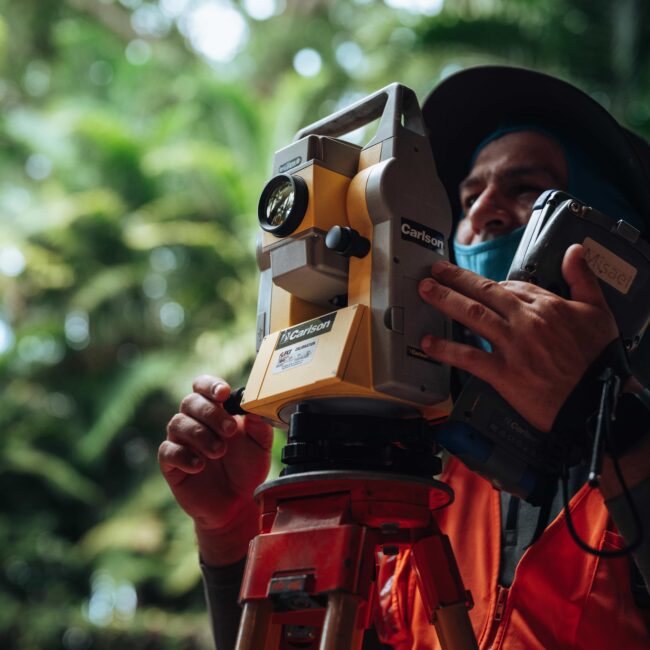
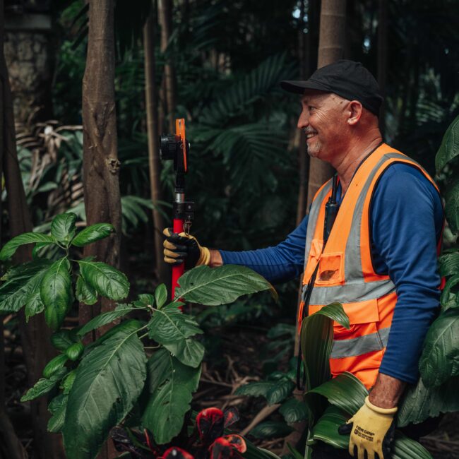
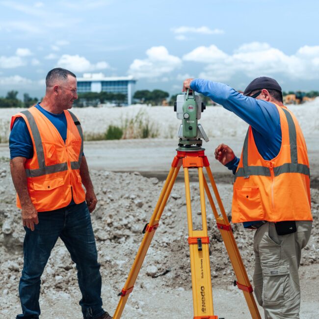
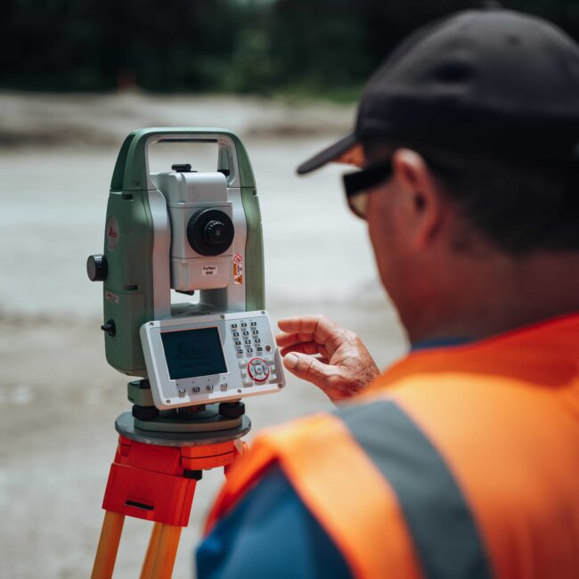
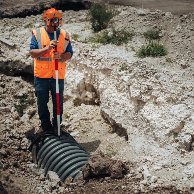
HADONNE serves as a trusted surveying resource for design consultants, providing responsive field support, dependable mapping, and the information needed to keep projects moving even when an in-house surveying department is not available.
Municipal Support Service
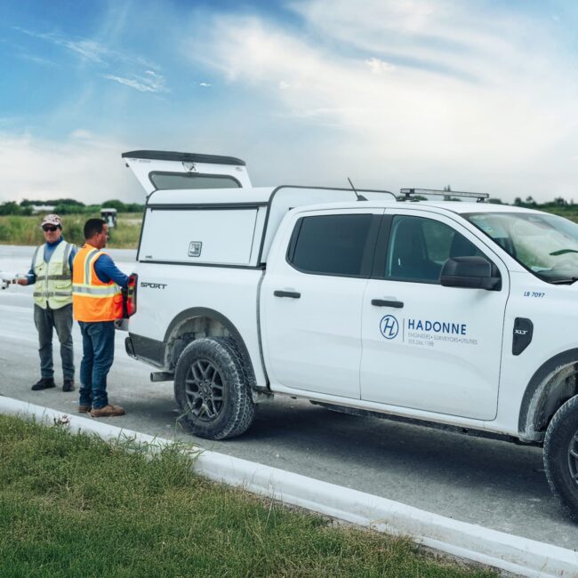
HADONNE supports municipalities with surveying and mapping services for infrastructure programs, capital-improvement projects, and ongoing operational needs. Our team brings practical field experience, clear documentation, and coordination support from project planning through completion.
LAND SURVEYING
Design Consultant Support
HADONNE was established with a vision of becoming an invaluable addition to any design consultant without an In-House surveying department, therefore we have been providing surveying services to various Design Consultants throughout the years. HADONNE can provide design consultants with a wide variety of services including, but not limited to, land surveying, subsurface utility engineering, and utility coordination.
Municipal Support Service
HADONNE provides surveying services to municipalities in the capacity of designated municipal surveyor as well as on a specific project basis. As designated municipal surveyors, we have completed numerous survey projects for a wide range of public infrastructure projects. HADONNE serves as a compliance review consultant for a number of municipalities.
Florida Department of Transportation Surveys (FDOT)
At HADONNE we believe Surveying and mapping is fundamental for any roadway design work. It is a vital function linking the interdisciplinary elements of a project from planning through design, right-of-way acquisition, and construction, to final asset management. HADONNE has the unlimited certification with the FDOT under the Categories 8.1, 8.2 and 8.4 in addition to being a Disadvantaged Business Enterprise (DBE)
Land Development
Over the years, HADONNE has successfully completed several subdivision plats, for various residential, commercial, and governmental agencies. Our staff includes Land Platting experts. We have the capabilities of assisting our clients from the beginning to the end of any land subdivision project.
Water and Sewer Surveys
At HADONNE, we believe our core services make us a complete Land Surveying consultant with the capabilities of assisting in the various upcoming infrastructure projects for the Miami Dade Water & Sewer department. HADONNE has successfully completed various Design Surveys, Construction Layout Surveys, and As-Built Surveys for Miami-Dade Water and Sewer Department’s related projects.
Hadonne Capabilities
General Surveying Services
- ALTA / NSPS Land Title Surveys
- Boundary Surveys
- Route Surveys
- Sketch to Accompany Legal Descriptions
- Topographic Surveys
Construction Surveying Services
- Building Control and Layout
- Construction Surveys for Buildings
- Construction Surveys for Roadways
- Pile Layout
- Plot Plans
- Sitework Layout
Florida Department of Transportation
- 3D Laser Scanning
- Bridge Detail Surveys
- Channel Surveys
- Control for Aerial Photogrammetry
- Drainage Surveys
- Horizontal & Vertical Control
- Miscellaneous FDOT Surveys
- Project Network Control Surveys (FDOT)
- Right of Way Maintenance Maps
- Right of Way Survey Maps
- Road and Drainage Design Surveys
- Topographic / DTM Design Surveys
- Water Boundary Surveys
Land Development
- Coordination with Utility Companies
- Due Diligence
- Final Plats
- Preliminary Land Acquisition Inspection
- Preparation of Special Taxing Petition
- Subdivision Layout Design
- Subdivision Platting
- Tentative Plats
- Waiver of Plats
Miami-Dade Water and Sewer
- Route Surveys
- Sewer As-Built Survey
- Stormwater Inventory and Mapping
- Water As-Built Survey
Mapping, GIS & Specialty Services
- CAD to GIS Migration
- Condominium Surveys
- Control for Aerial Surveys
- Digital Data Migration
- Document Scanning & Data Conversion
- Earthwork Volume Calculations
- Expert Witness / Land Dispute
- FEMA Flood Elevation Certificate
- GIS Database Design
- GIS Mapping
- GPS Data Post-processing
- GPS Field Data Collection
- High Definition 3D Laser Surveys
- Hydrographic / Bathymetric Surveys
- Traffic Signal Inventory Mapping
- Tree Inventory and Mapping
- Vegetation Mapping
Meet Our Experts

Frank Paruas, PSM
LAND SURVEYING LEAD
Frank Paruas, P.S.M., is Vice President and Executive Survey Manager with more than 27 years of experience leading complex infrastructure and development projects across Florida. He has directed major survey programs for FDOT, Miami-Dade Aviation Department, and public- and private-sector clients. A Florida-licensed Professional Surveyor and Mapper, Frank brings expertise in design surveys, geodetic control, LiDAR, BIM, photogrammetry, right-of-way mapping, and roadway design.
Abraham Hadad, PSM
PRESIDENT
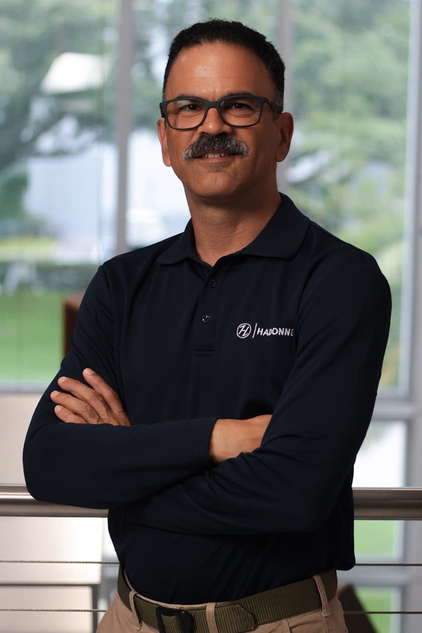
With more than 25 years of experience in infrastructure planning and development, Abraham leads HADONNE with deep expertise in surveying and mapping, planning, design, permitting, and construction management. He founded HADONNE in 2001 to deliver responsive, honest, knowledgeable support to public- and private-sector clients.